 |
|
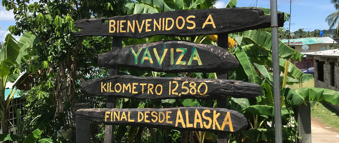
We Did It April 2022 & September 2023 Planning For Ride Número Tres March 2025! Click Here For All Of The Past And New Ride Information
|
|
Copyright © Greg Rice 2024 |
|
|
|
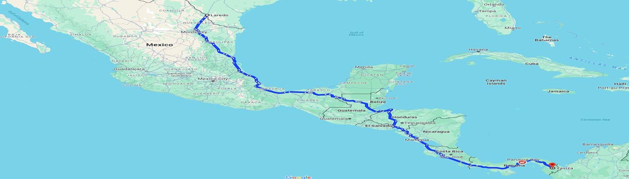
We Did It April 2022 & September 2023 Planning For Ride Número Tres March 2025! Click Here For All Of The Past And New Ride Information
|
|
Copyright © Greg Rice 2024 |